Elevate YourReal Estate
Stunning aerial photography and cinematography that showcases properties from breathtaking perspectives
Everything You Need to Stand Out
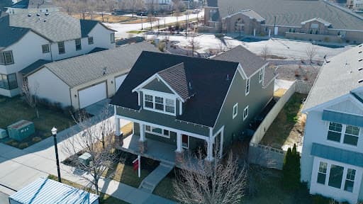
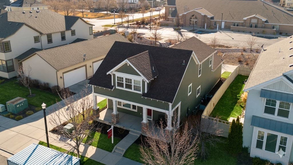
Aerial Photography
High-resolution drone photos capturing every angle of your property with stunning clarity
4K Cinematic Video
Professional video tours with smooth, cinematic movements that captivate buyers
Virtual Tours
Interactive aerial experiences that let viewers explore properties remotely
Commercial Shoots
Large-scale property coverage for commercial real estate and developments
Landscape Context
Showcase proximity to mountains, parks, and Salt Lake City landmarks
Property Mapping
Accurate aerial mapping and measurements for land and construction projects
See the Difference
Drag the slider to compare raw photos with our AI edited drone shots — and see why our aerial imagery sell faster.

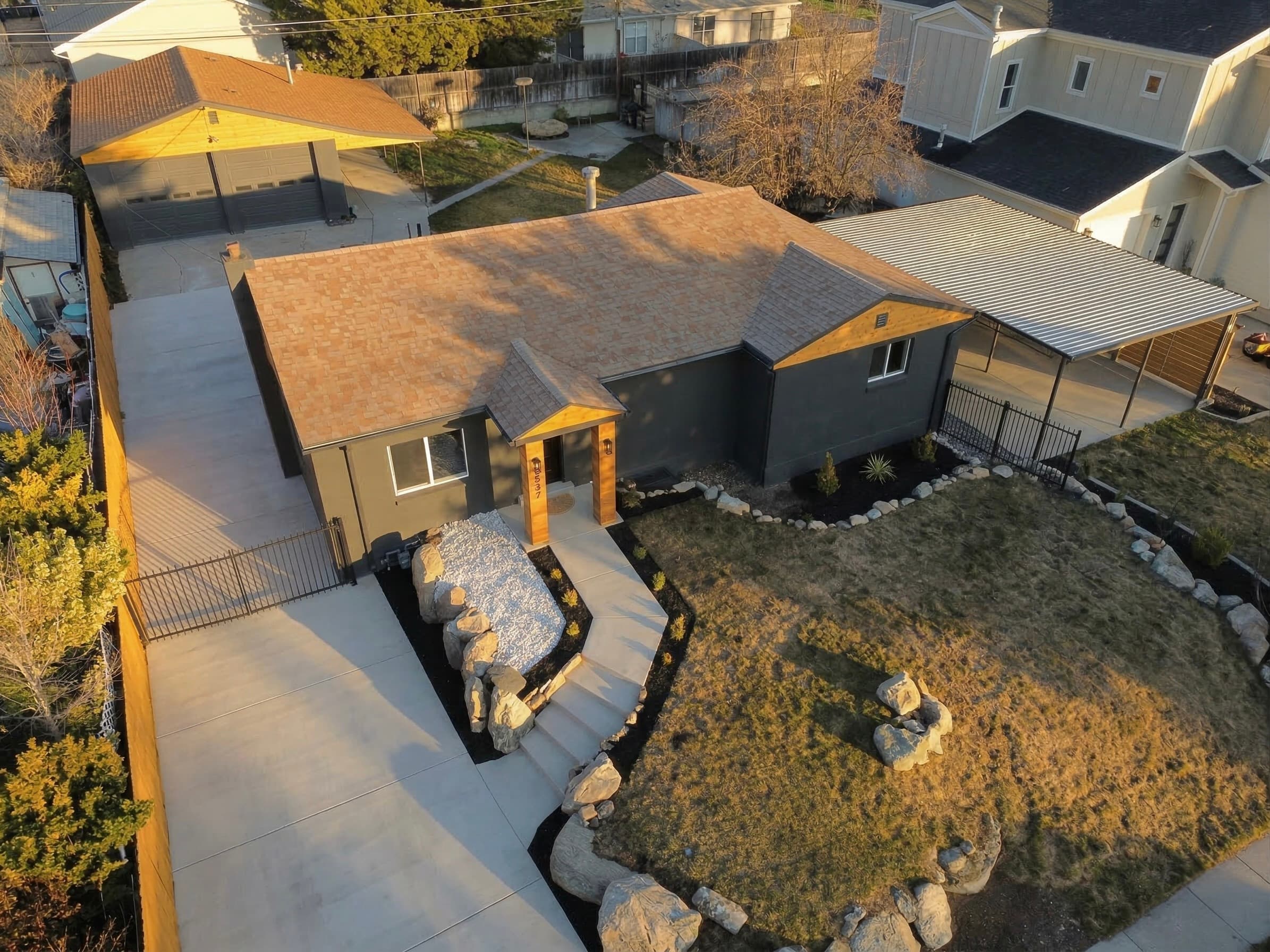
Elevation & Surroundings
Drone shots reveal the full property footprint, lot size, and neighborhood context that ground photos simply can't capture.
Street Appeal & Setting
Aerial perspectives highlight curb appeal, landscaping, and proximity to parks or amenities — a proven listing differentiator.
Visualize Potential
We overlay high-fidelity conceptual renderings onto real-world aerial data to showcase a property's development potential.


Simple, Transparent Pricing
Choose the package that fits your needs. All packages include licensed, commercial-use footage.
Residential
Perfect for improving standard residential listing value.
- 5 edited aerial photos
- Unlimited raw footage
- Optional video add-on
- 48-hour turnaround
- Digital delivery
Commercial
Ideal for commercial properties and featured listings
- AI concept sketches
- 10 edited aerial photos
- Unlimited raw footage
- 2-minute cinematic video
- Digital delivery
Enterprise
For agencies, high-end clients and large projects
- AI concept sketches
- 3D model of property
- 10+ edited aerial photos
- Unlimited raw footage
- 2-minute cinematic video
- Same-day rush available
- Dedicated project manager
Ready to Elevate Your Listings?
Fill out the form and we'll get back to you within 24 hours with a custom quote.
Service Area
Salt Lake City & surrounding valleys